Got a chance to dry cave and cave dive in the same day. Michael Poucher, one of the main surveyors for the Peacock Springs map current posted at the park, held a cave survey workshop this past weekend, in conjunction with the Cave Alliance “Cave Summit.”
The workshop consisted of theory, review of tools/techniques, practice of wet-cave survey in the dry cave called Bat Cave located in Newberry, FL, and entry into mapping software, in this case Compass.
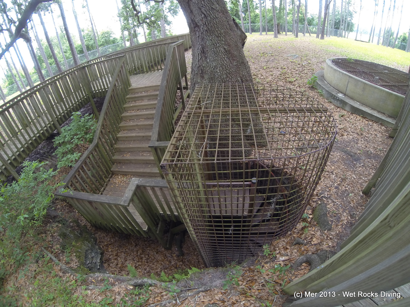
Bat Cave

Bat Cave map
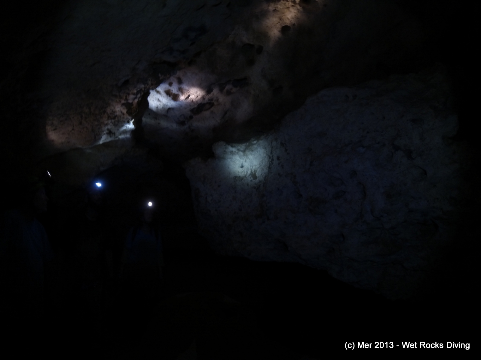
One of the entrances to Bat Cave
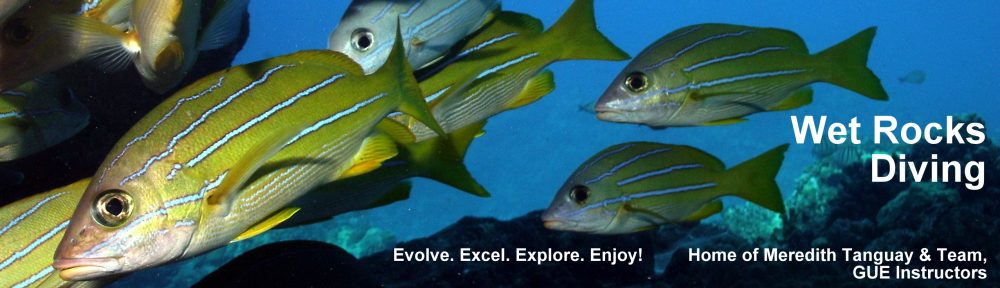
Inside Bat Cave
After the workshop, Derek and I headed over to Ginnie to practice some of the techniques underwater. Derek busted out the BFR of knotted line and we ran some line into the Catacombs and practiced surveying it, then playing with the software package “Compass.” I still have a lot to learn about the more advanced features of Compass, but here’s what I ended up with:
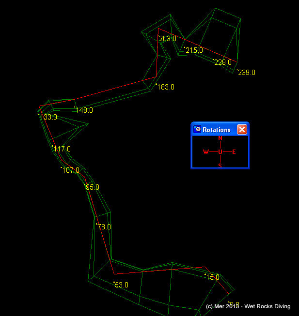
Survey Map of part of Catacombs in Devil’s System (knotted line)
A big thanks to Cave Alliance and Mike Poucher for the opportunity to practice and learn more about underwater cave survey and for Derek for running some practice “exploration” line.
After the dive, we had a beautiful leisurely swim up the run…. great light!
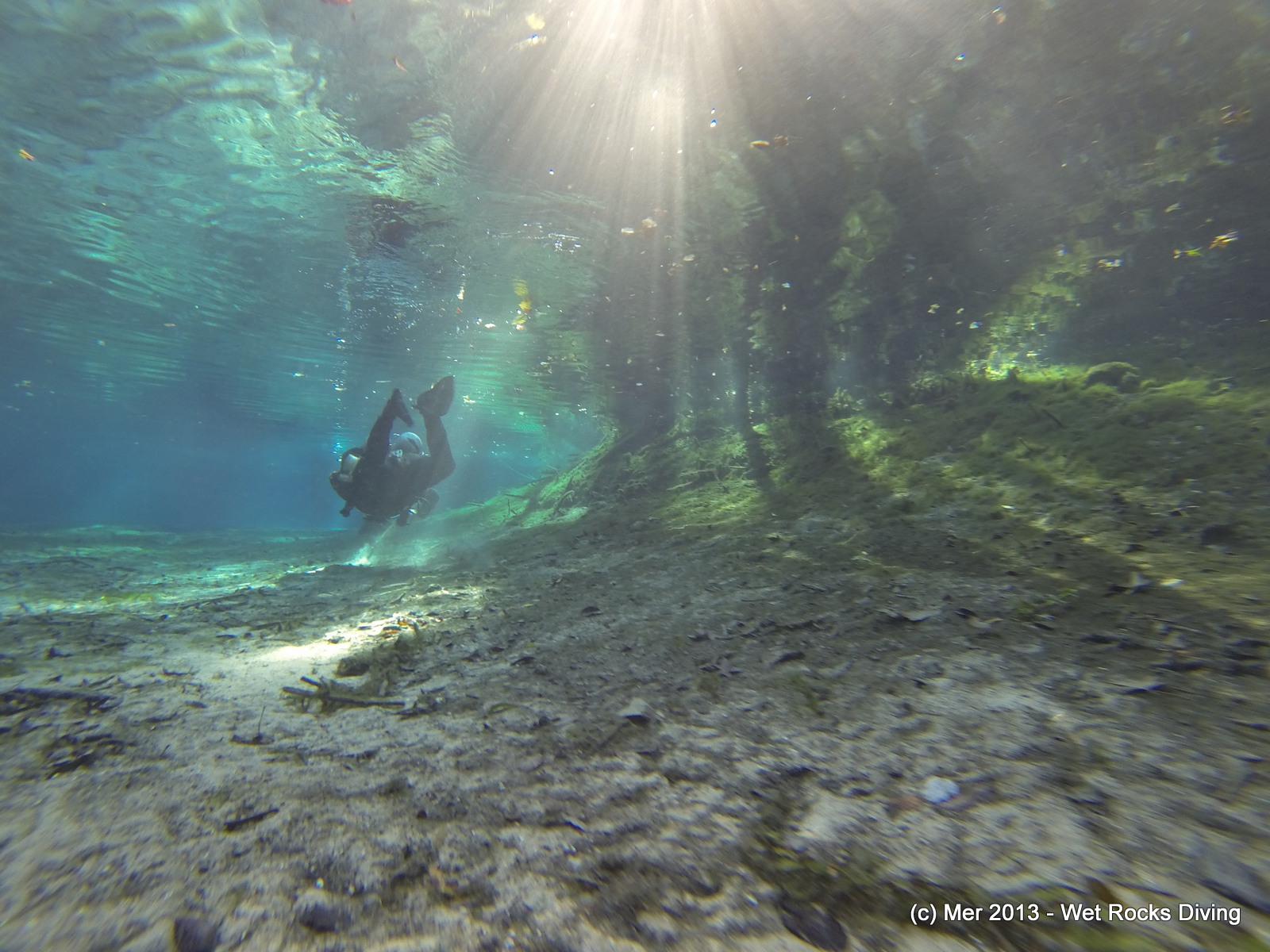
Derek in a Sunday afternoon, sun-bathed Devil’s Run
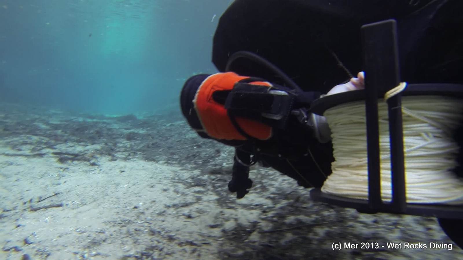
Derek and the BFR of Knotted Line
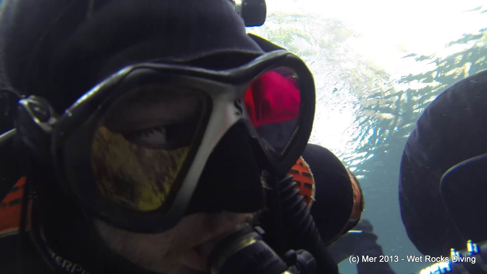
Derek, extreme gopro closeup.

Mer in the afternoon light in Devil’s Run